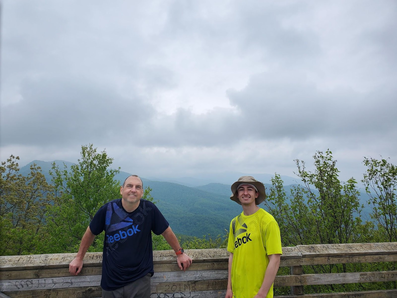
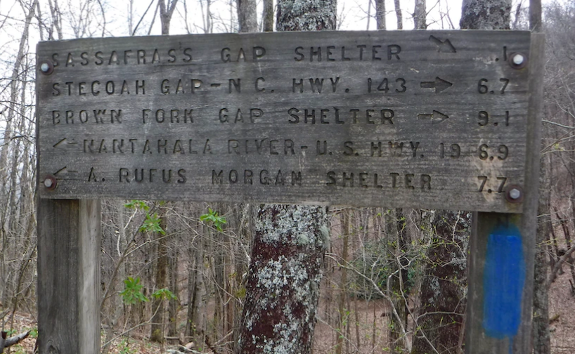
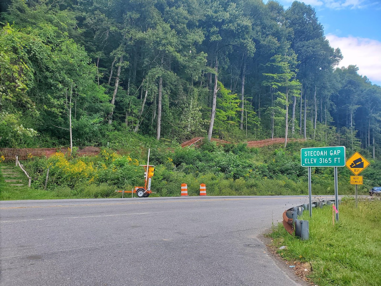
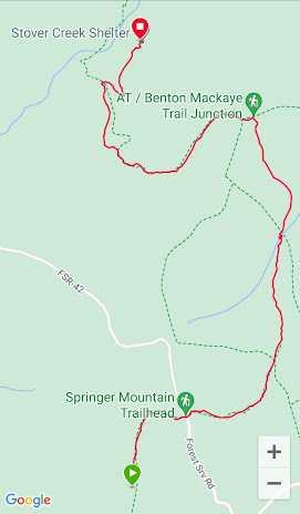
For my next trip, I had four full days - Thursday to Sunday. To maximize that time, I decided to drive to Stecoah Gap on Wednesday night and sleep in my car there.
Not many good stories begin with, “I’m going to sleep in my car parked in a dark parking lot in the middle of Nowheresville.”
I chose this plan so that I could hit the trail early on Thursday. I left home around 5 pm and arrived at the parking lot at 10 pm. There were no streetlights so it was dark and spooky. One other vehicle was parked there. It was a small, older, red pickup truck. I was kinda relieved.
"Another hiker," I said to myself.
It took me a while to get comfortable and fall asleep in my rented Chevy but around 1 am, I was out cold. At 2:20 am, I woke up and saw two people hurriedly getting into the pickup truck. They floored it like they were in a huge hurry and loudly drove away.
I was unnerved by this. What could they have possibly been doing there? "They could be night hiking", I thought. But that seemed unlikely as night hiking isn’t common. Maybe they were hiding a dead body in the woods. If they were doing something really bad like that, they would want witnesses like me out of the picture. My mind was racing with ideas.
I stayed alert for a while. After maybe 20 minutes, I assumed that they were gone for good. I returned to sleep. Then, at 3, another truck pulled in. It was loud like the red one. Only, this truck was pointed directly at my car. I started freaking out. They revved up the engine. I was thinking they were trying to scare me. Or maybe worse.
“Are they going to crash into my car? Will they get out and shoot me right here in the parking lot?”
I went to start up my car and get out of there. Before I could do anything, they floored it and loudly left just like the red truck.
Now, I was freaking out. Why did I think it was a good idea to sleep in my car in this dark parking lot in the middle of nowhere? I pulled out and drove six miles to a grocery store with a well-lit parking lot. I sat there for around 45 minutes. I thought about my options and decided to return to Stecoah Gap. It was probably 4 am.
I came to the conclusion that these two trucks were connected. The red truck left at 2:20. The white truck showed up at 3:00. It makes sense that the driver of the white truck was looking for the people in the red truck. This suggests that they were doing something illegal. Maybe drugs or something worse. I’ll never know.
I was able to go back to sleep for an hour or so.
At 6 am, the road got busy. It was garbage day so loud garbage trucks were heading out to pick up trash. I woke up and prepared myself for four days of hiking. I was glad to put that night behind me. I ate, drank, and packed up. I looked across the street to see what I was dealing with.
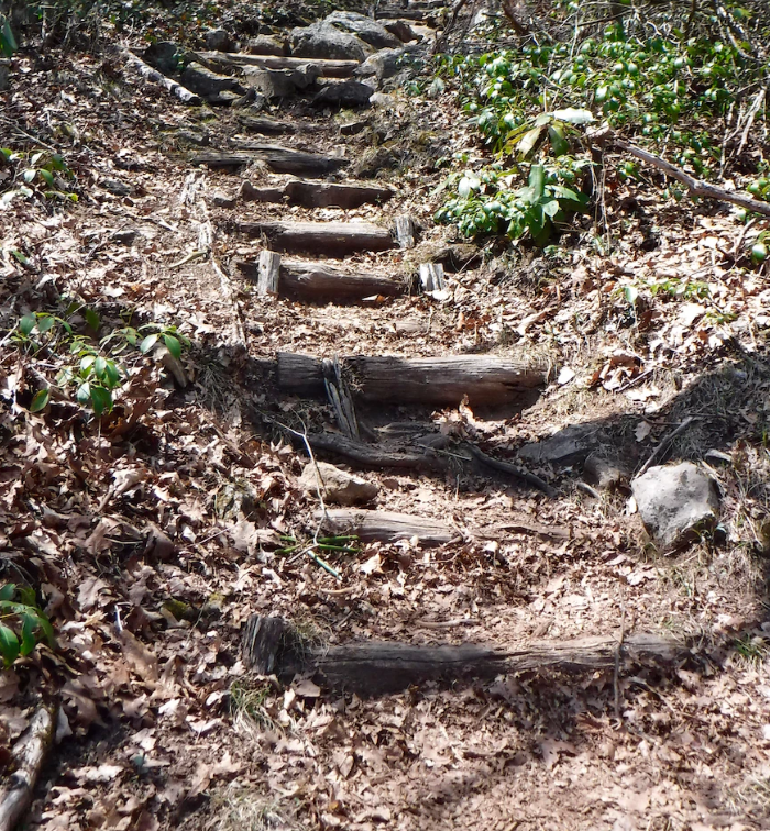
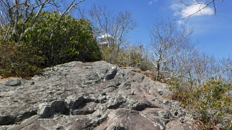
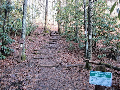
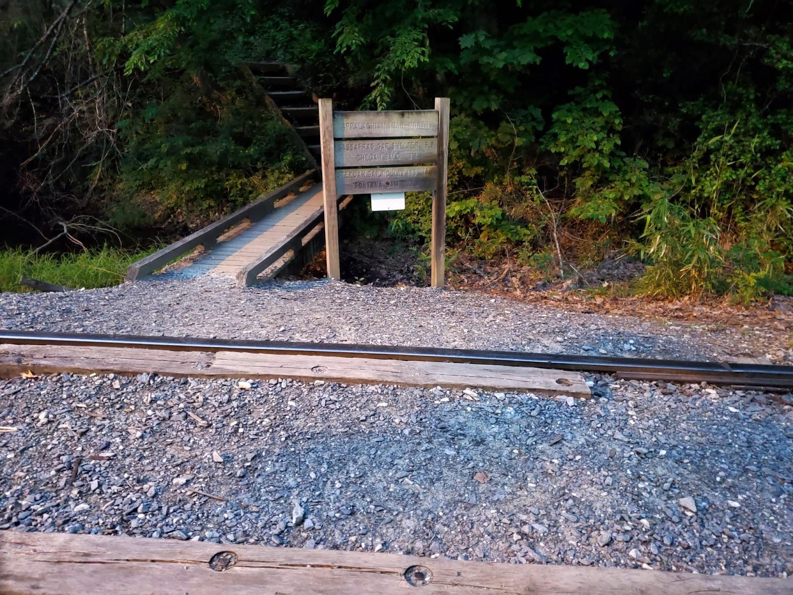
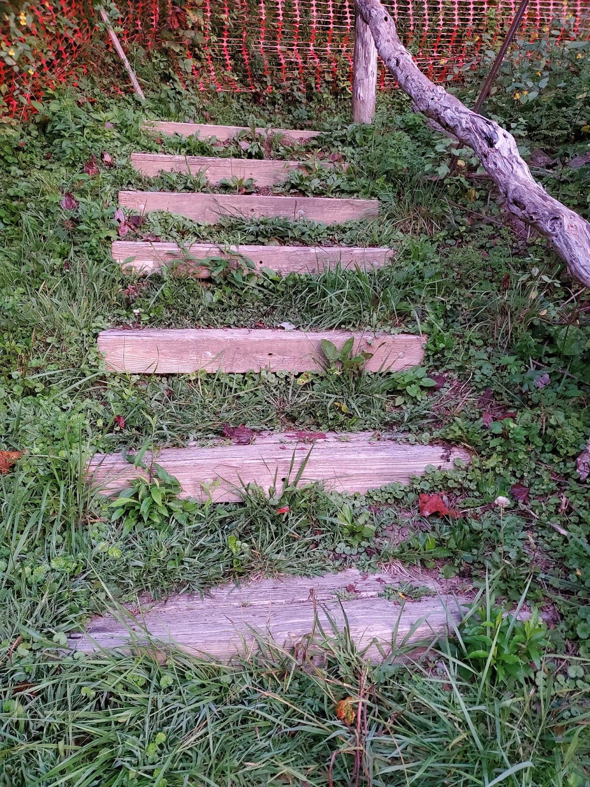
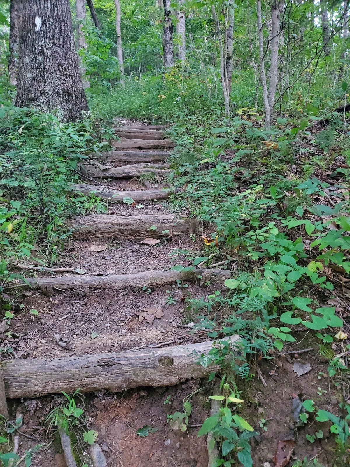
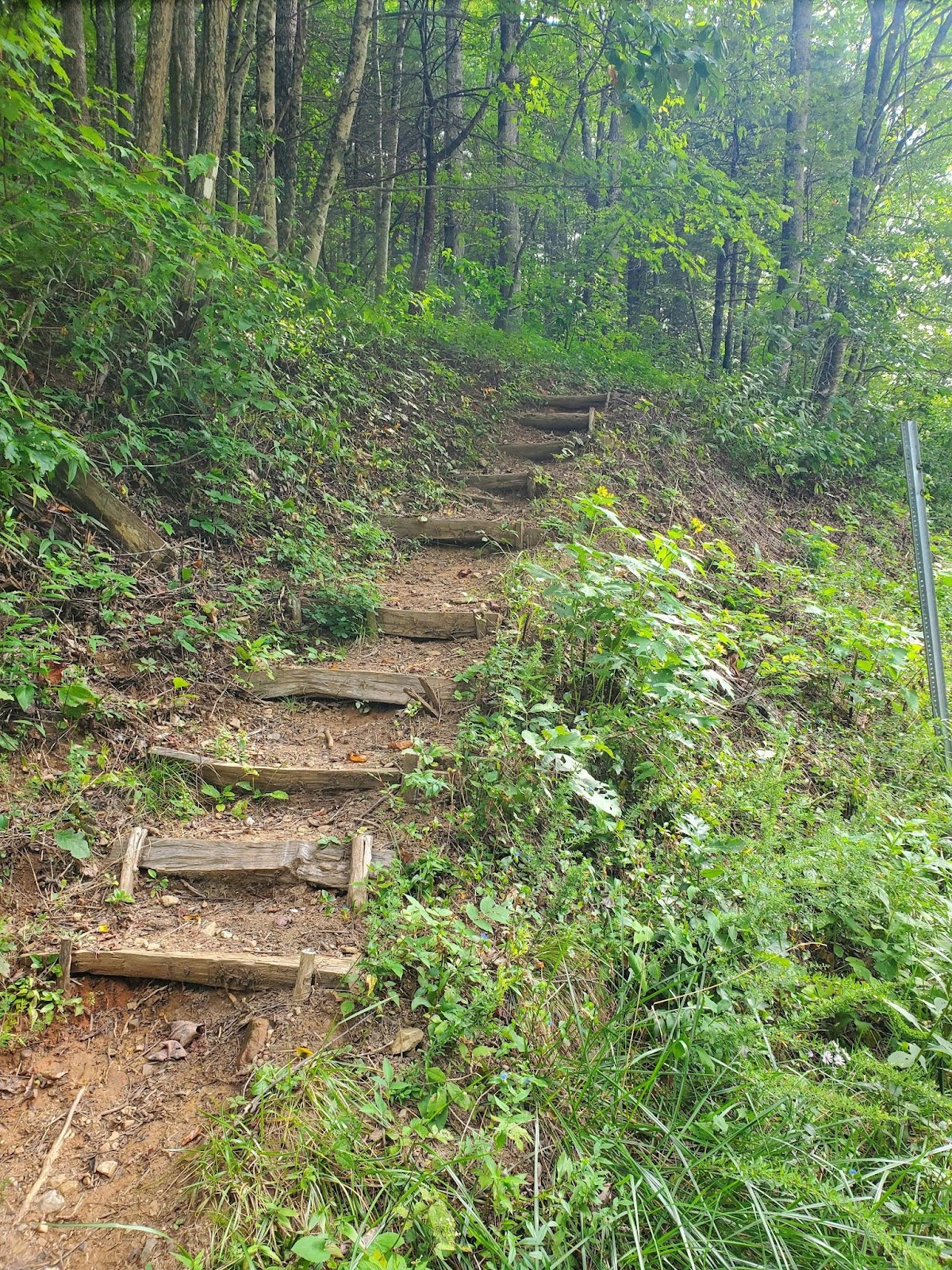
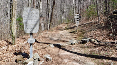
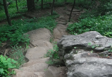
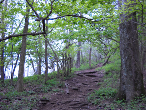
Across from the parking area at Stecoah Gap the trail goes up a set of stairs.
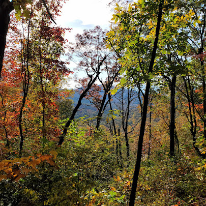
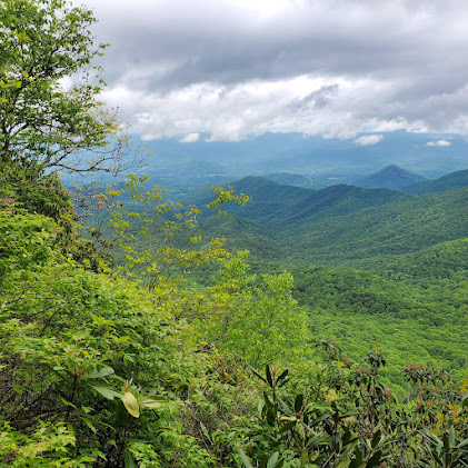
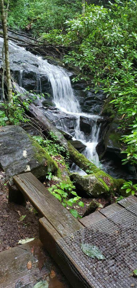
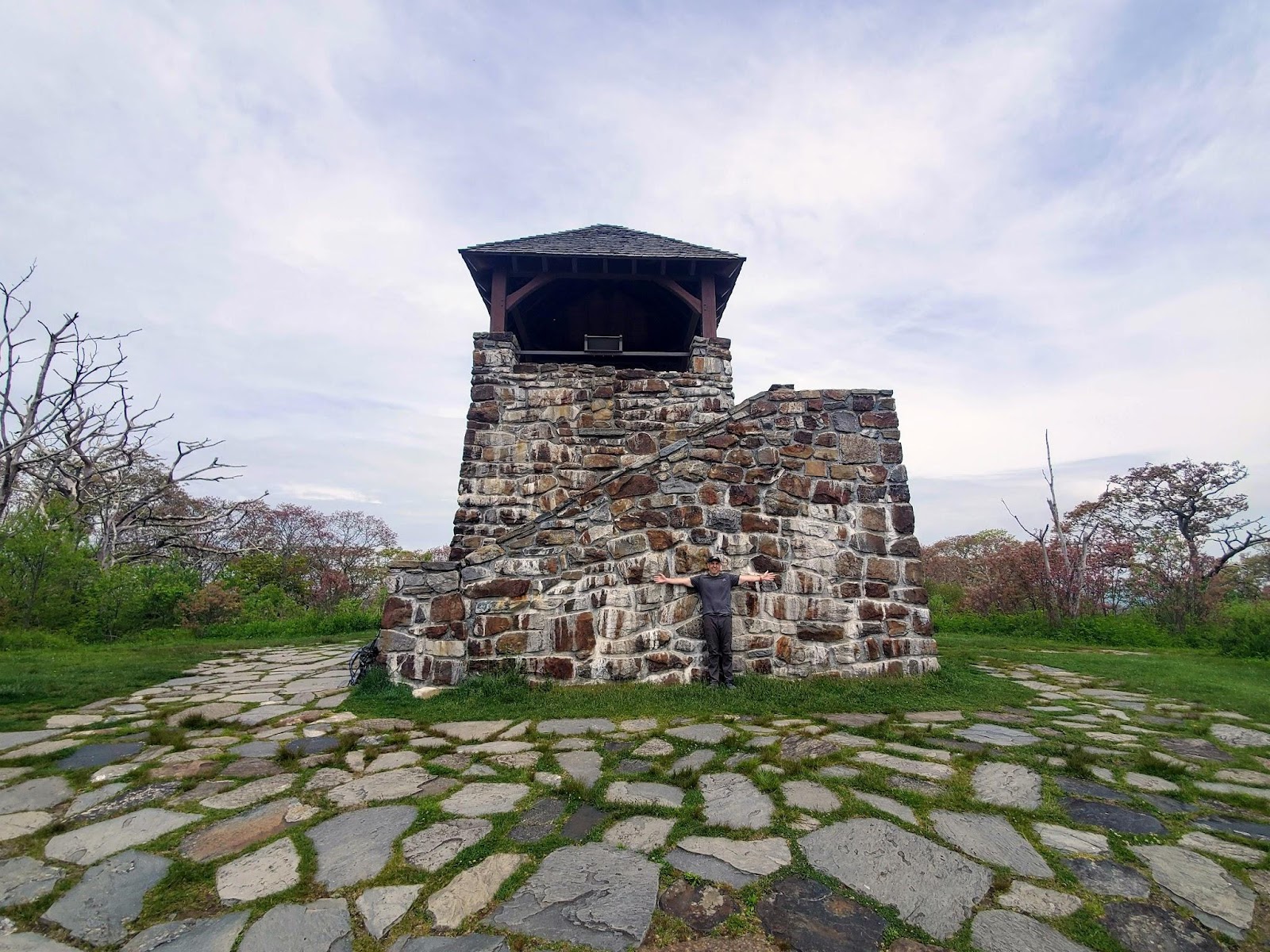
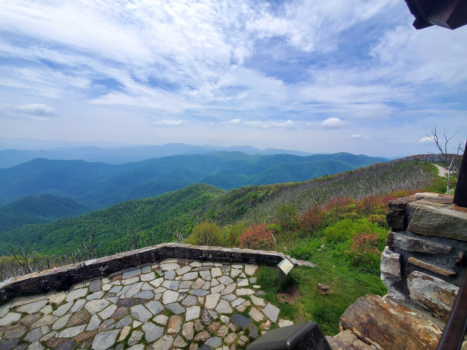
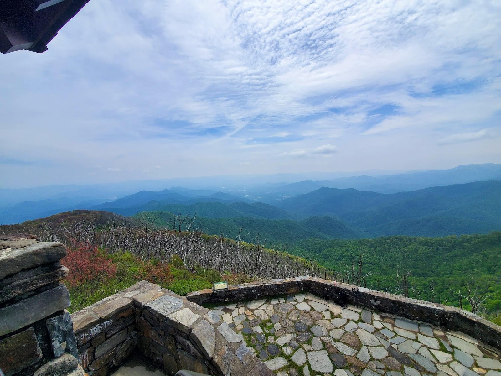
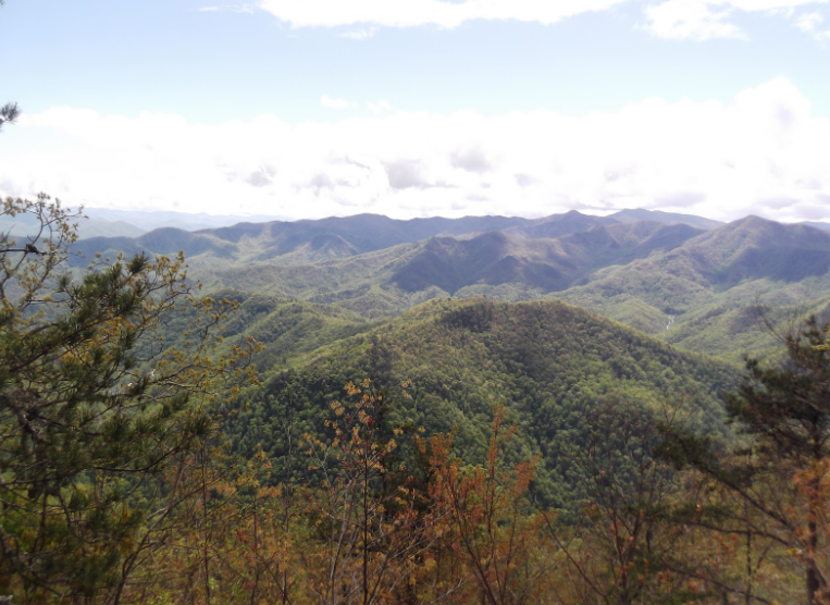
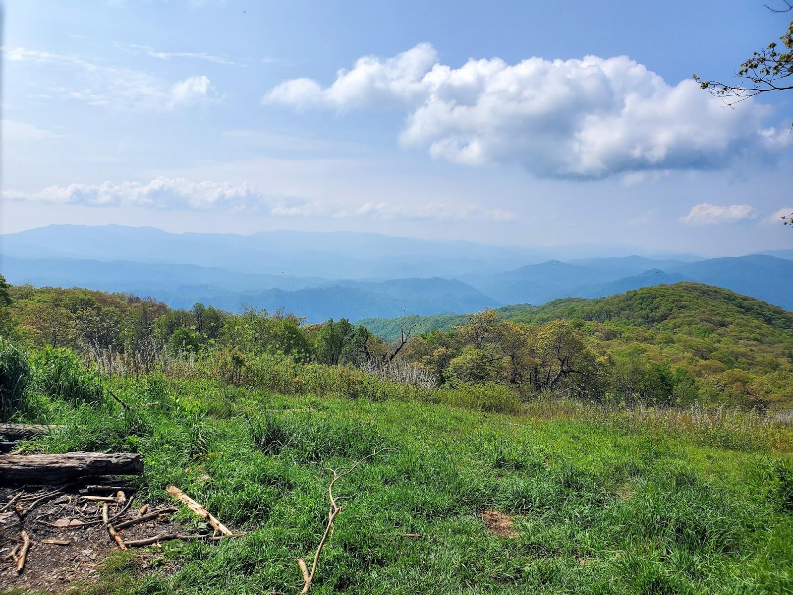
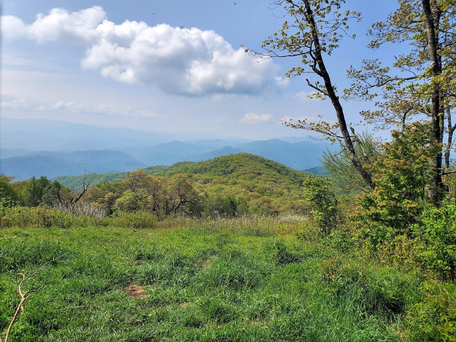
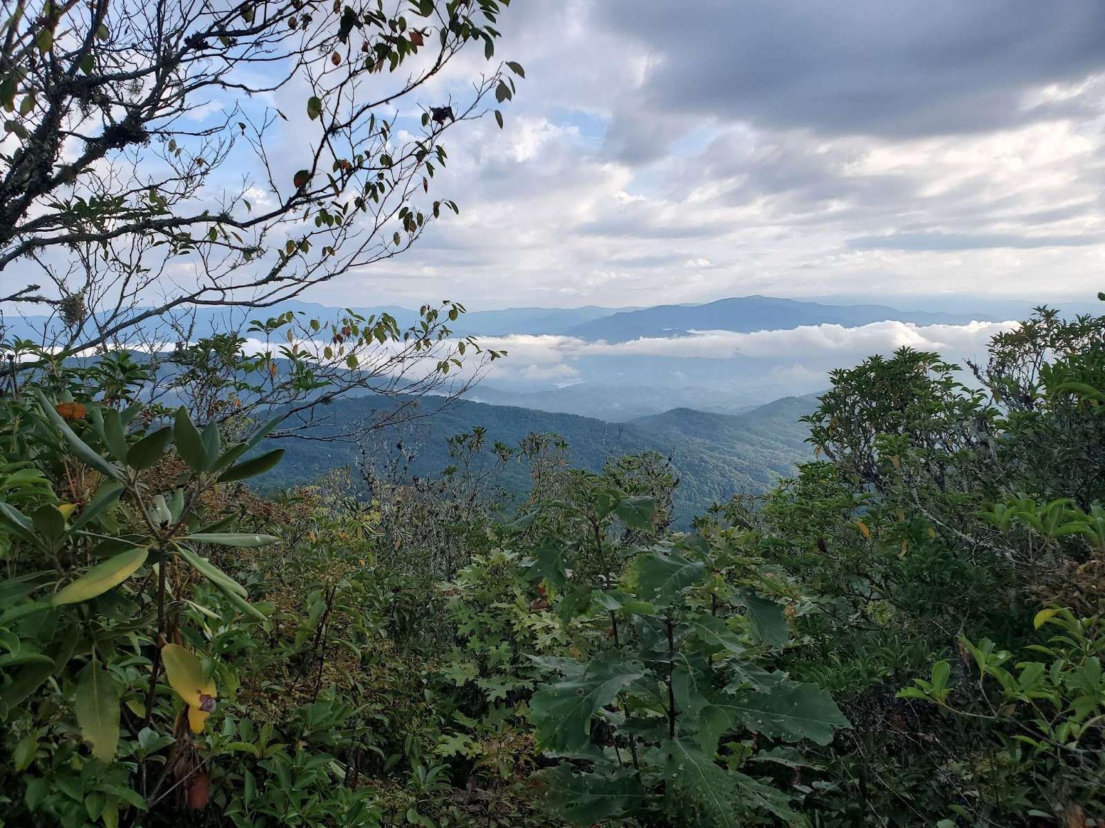
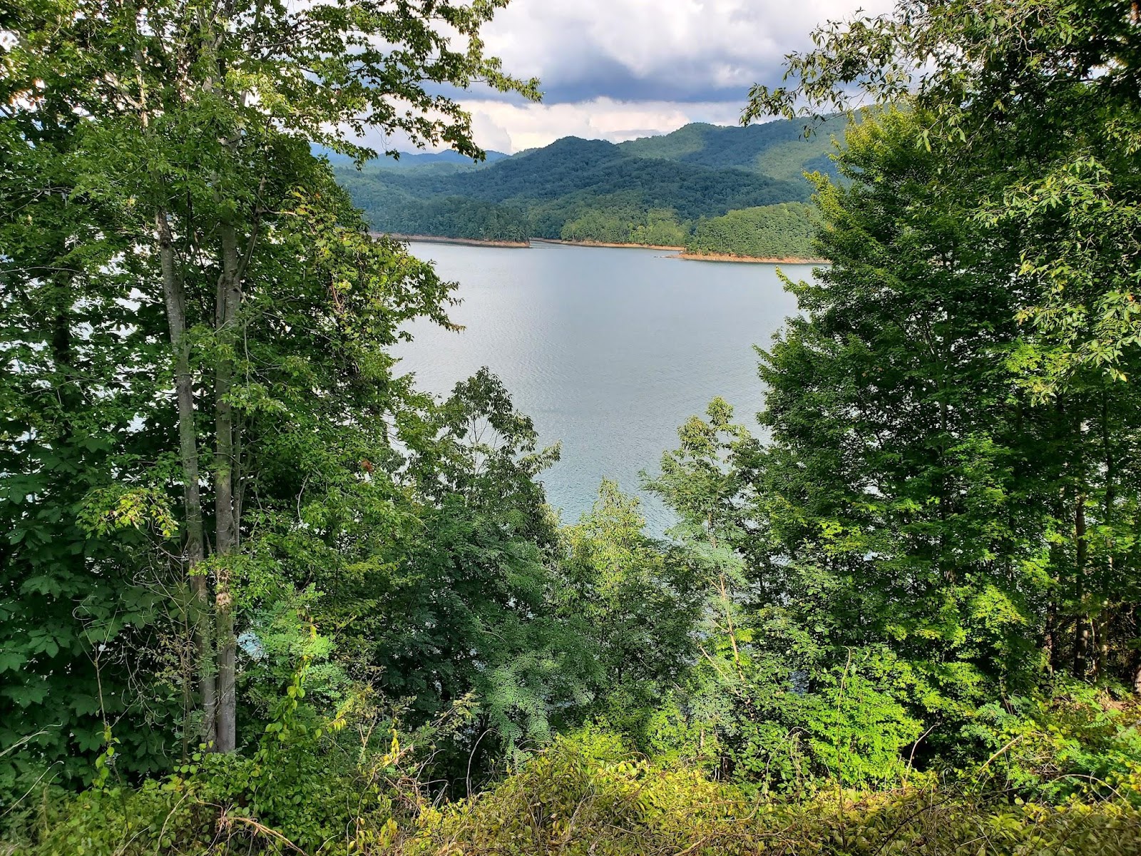
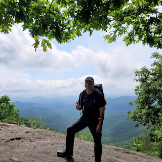
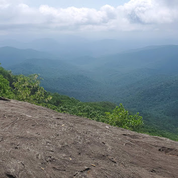
It was a pretty long trek up to Cheoah Bald - you know, the Grandstand of the Appalachians. Thankfully, there were a few flat spots that made the climb a bit easier. But honestly, the view of the Smokies is just amazing!
As I hiked up the hill, I looked back at my car. Would it be safe for four days? Will someone steal my catalytic converter? I couldn’t worry much about that. I had to get into hiker mode.
Get ready for Jacob's Ladder - 0.6 mile climb up tons of steps that climbs up the 600 ft elevation gain. There were many vertical climbs to the top.
I made it to the top. Jacob's Ladder wasn’t as bad as I was expecting. It might have been that I was fresh, though. Anyway, I enjoyed the view up there.
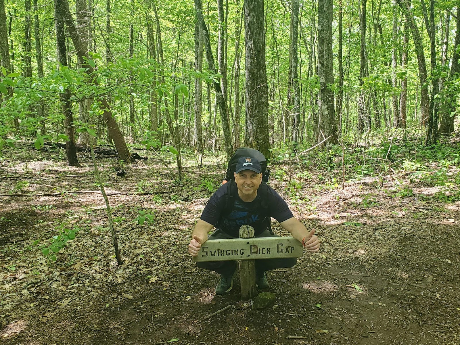
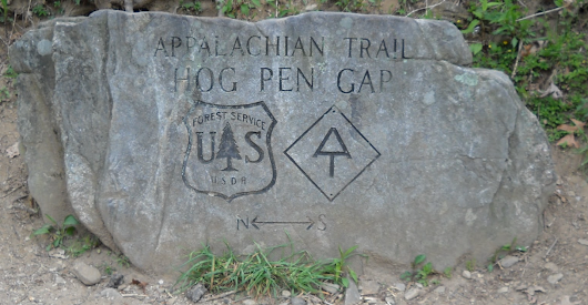
A rocky climb down starts here. I passed some benches at Hogback Gap. I was thinking that Waite would probably have wanted to stop there but I pressed on.
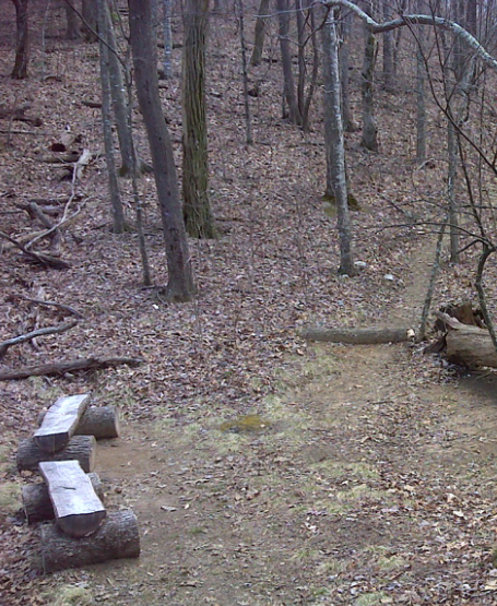
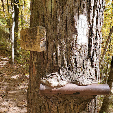
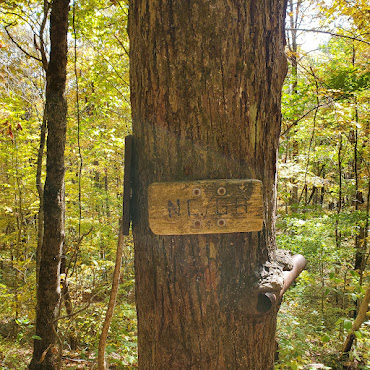
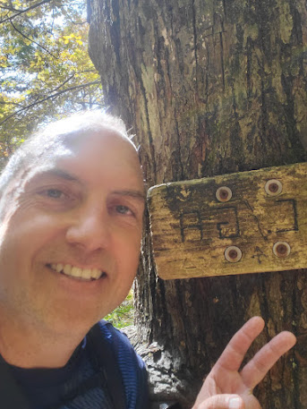
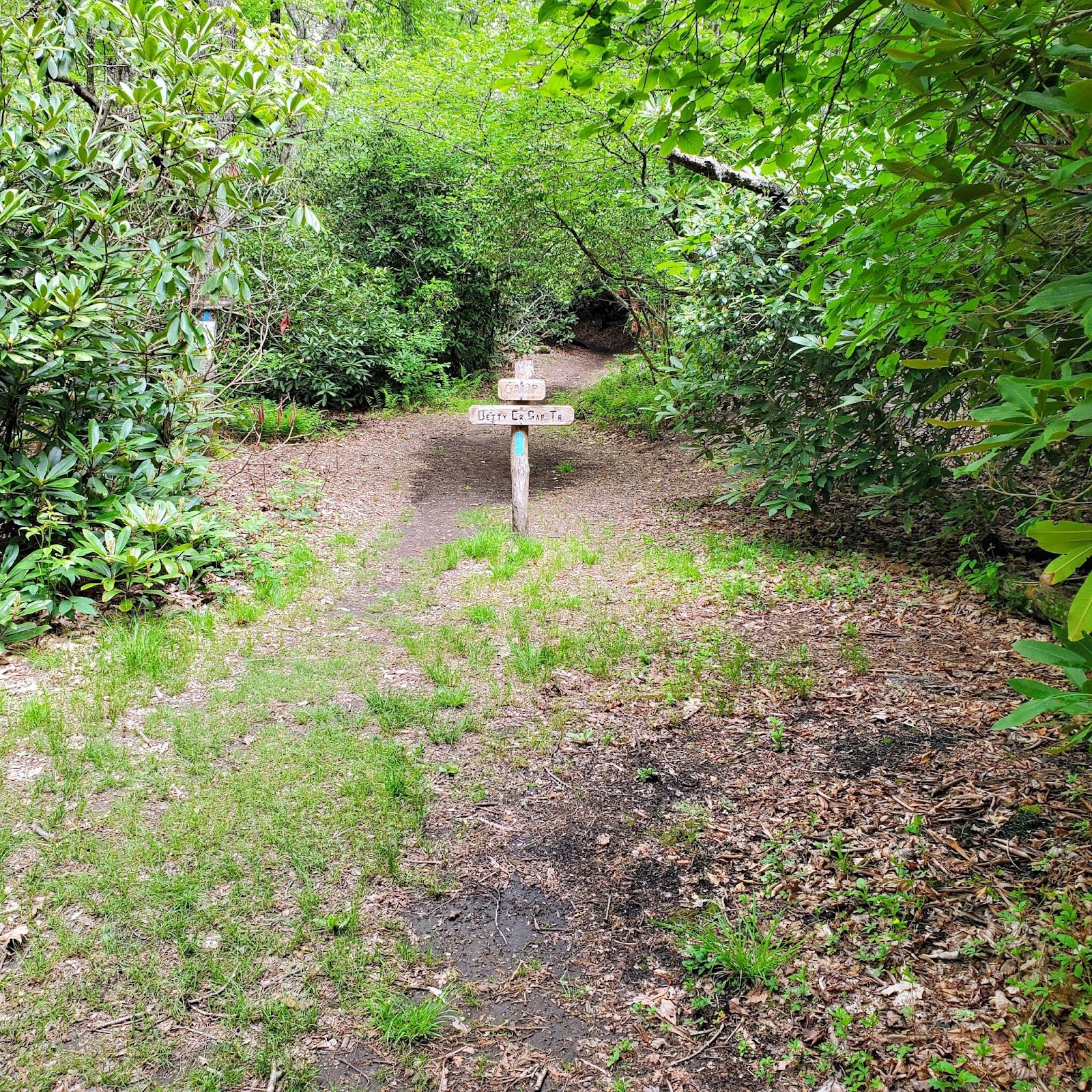
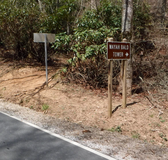
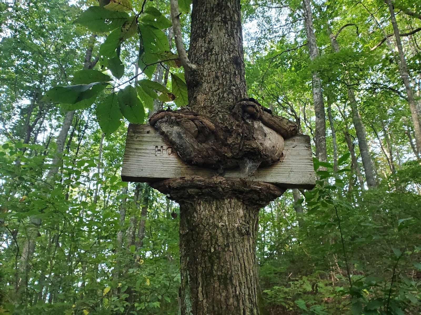
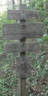
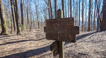
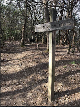
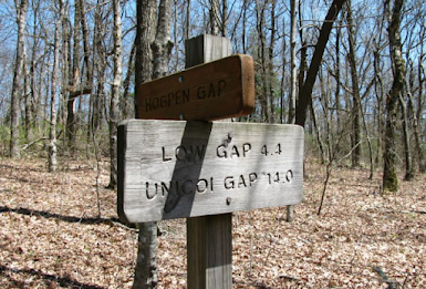
The Hogback Gap sign looks interesting.
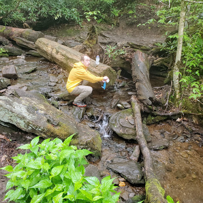
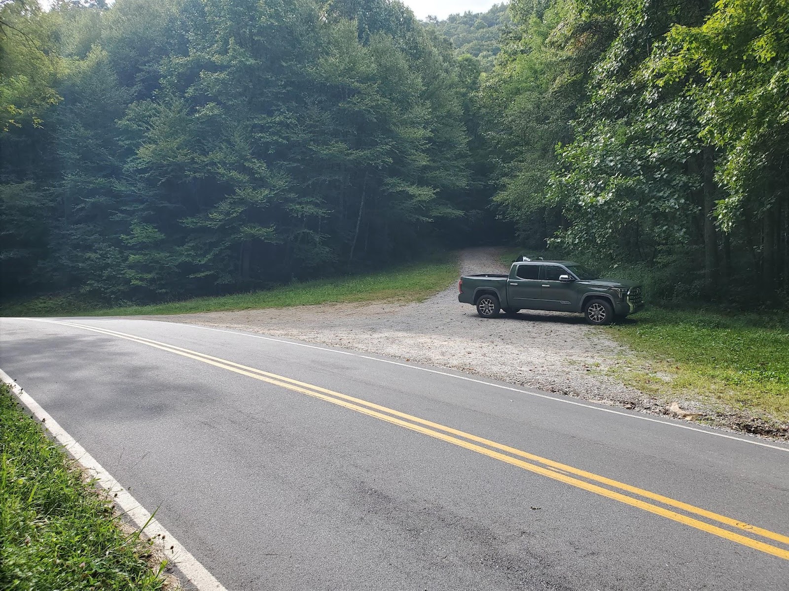
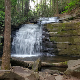
I climbed over some big rocks out of there and went to Cody Gap where there was a stream which was refreshing. I made it to the parking lot and was ready to take on the next section. I was half-way to Fontana Dam.
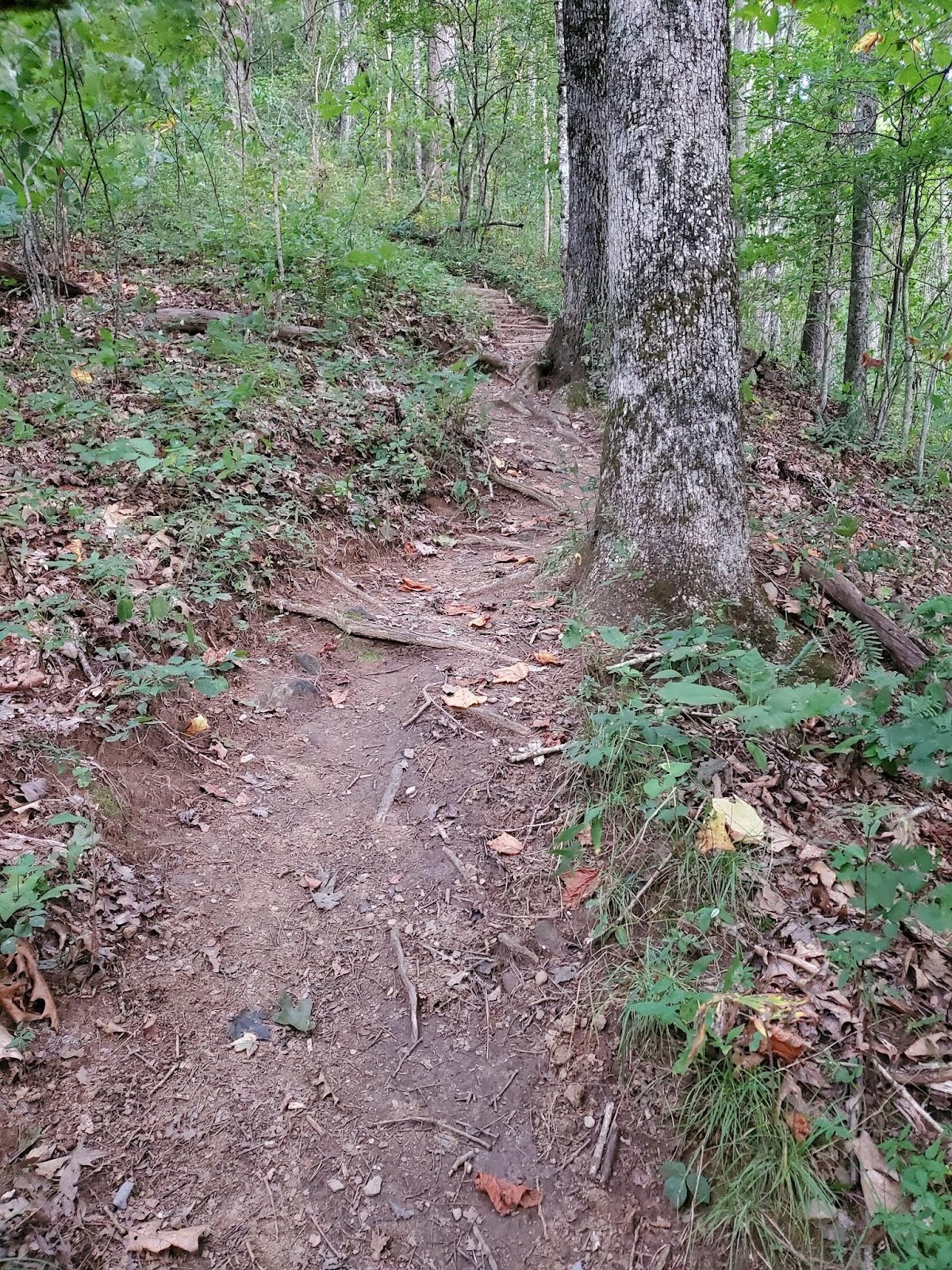
I crossed the road and looked at the steps. It was steep.
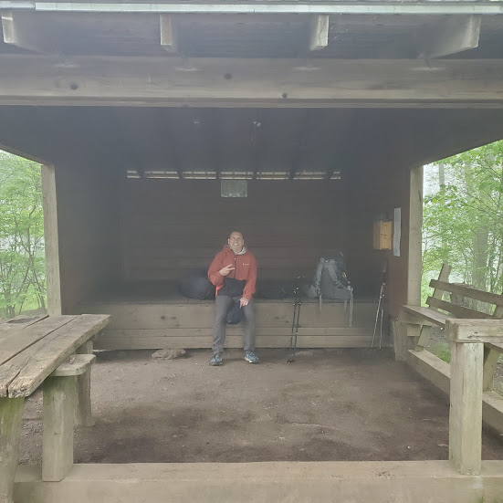
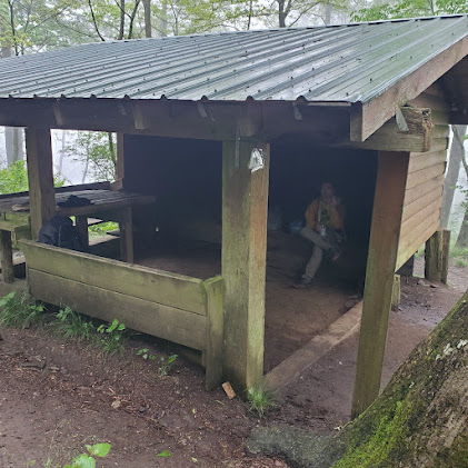
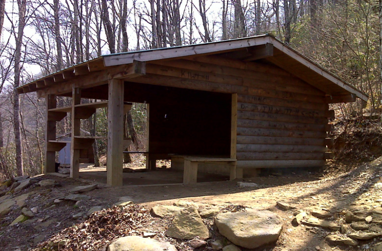
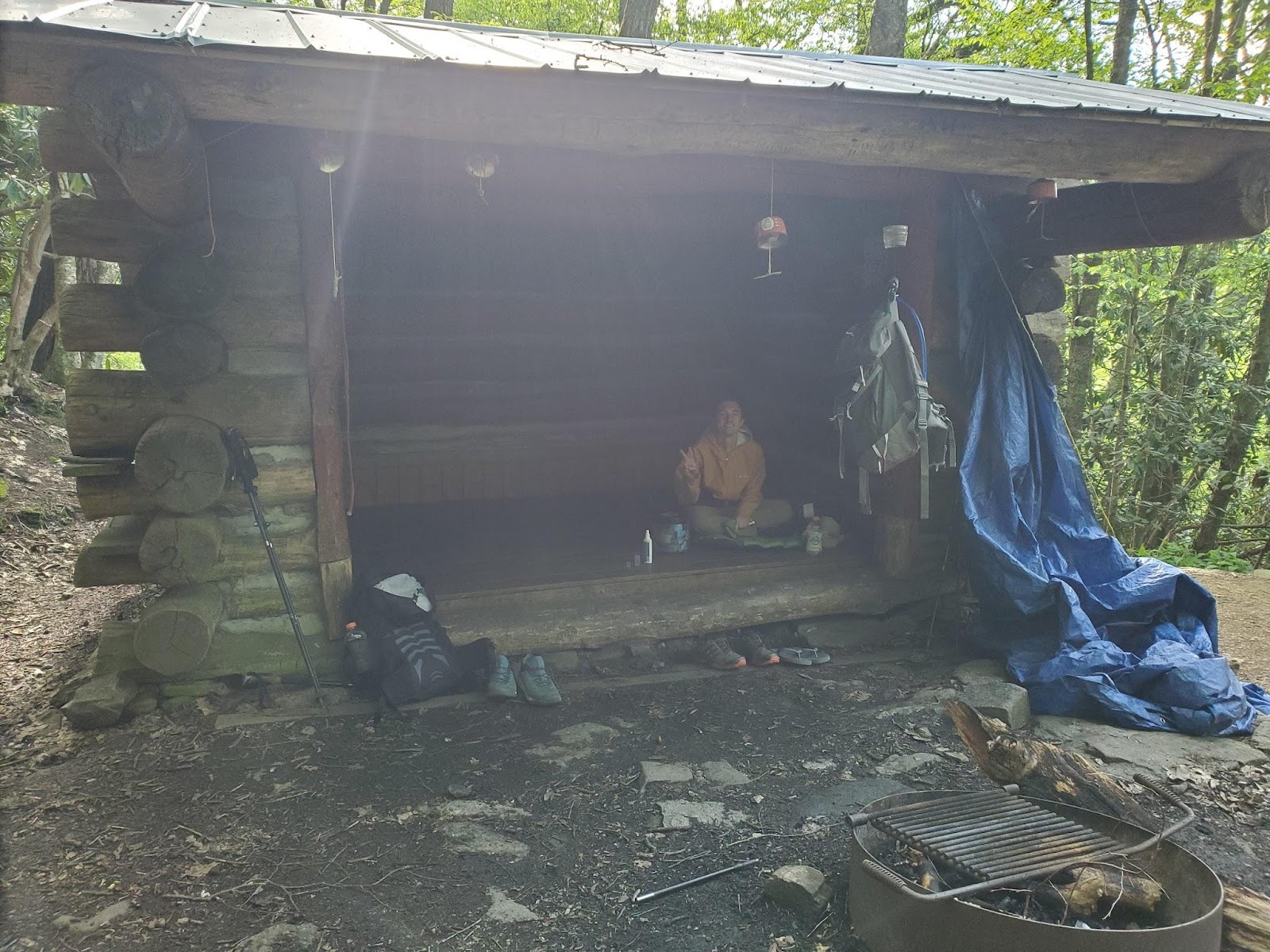
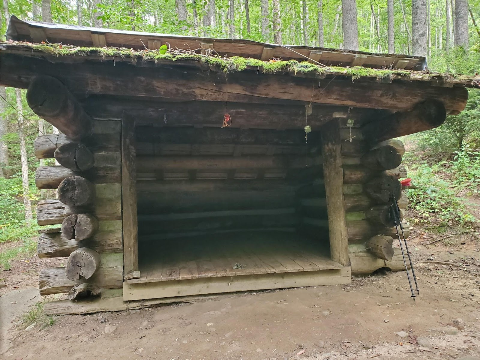
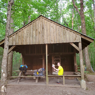
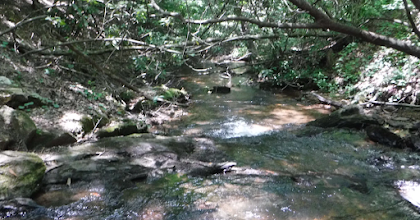
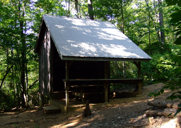
I struggled making it to the top of this section. There were a lot of boulders to deal with which made it harder. I stopped at Cable Gap Shelter for a break. There was a good stream here.
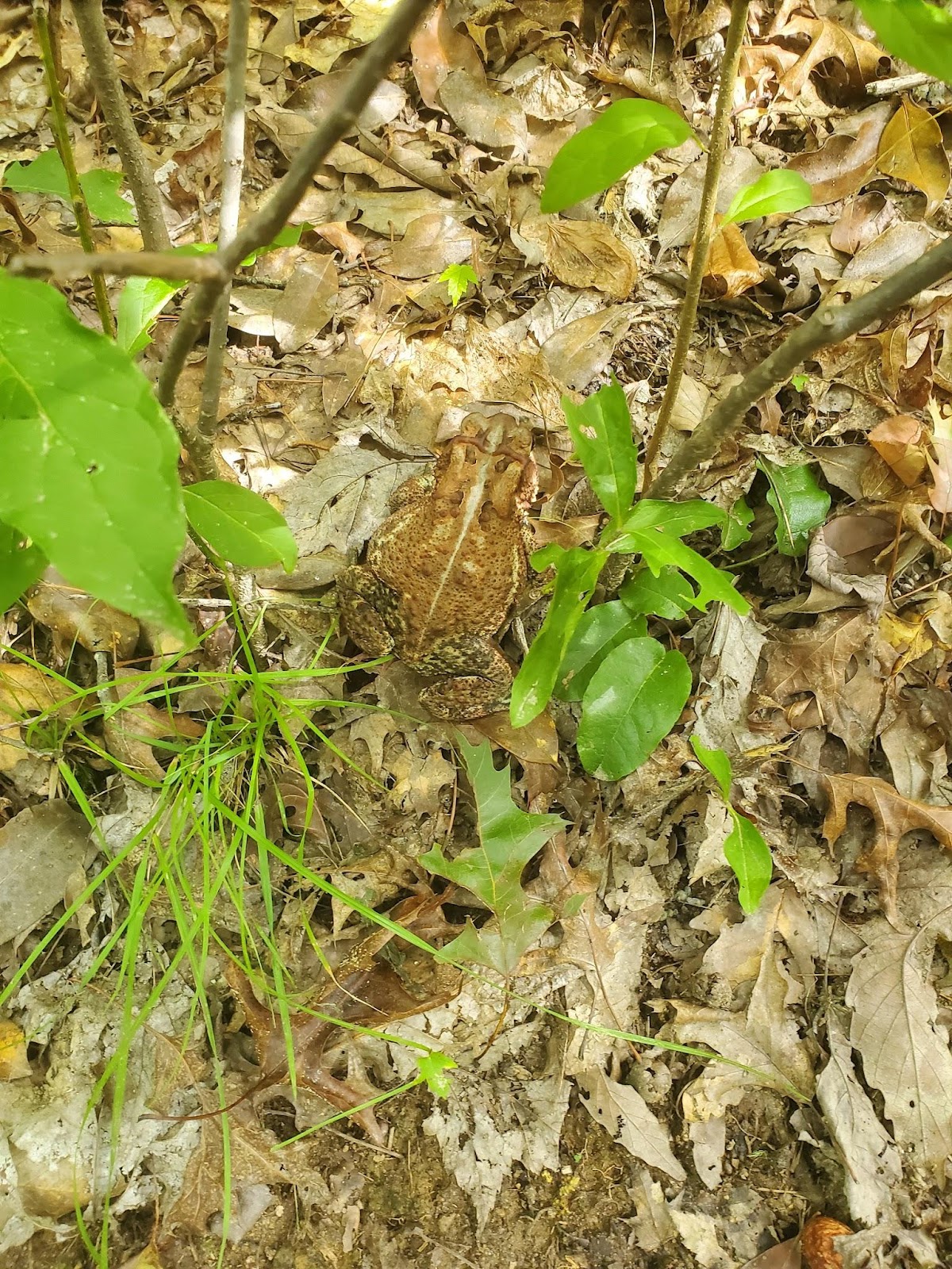
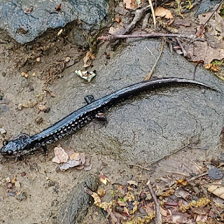
I saw a frog on the climb out of the gap.
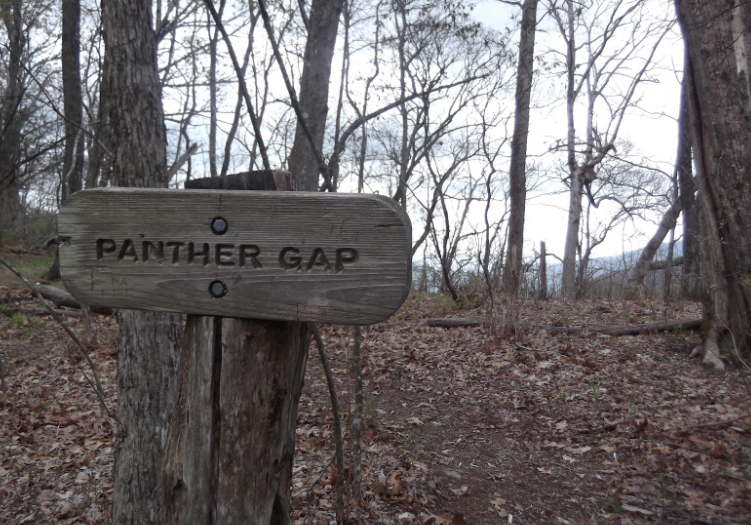
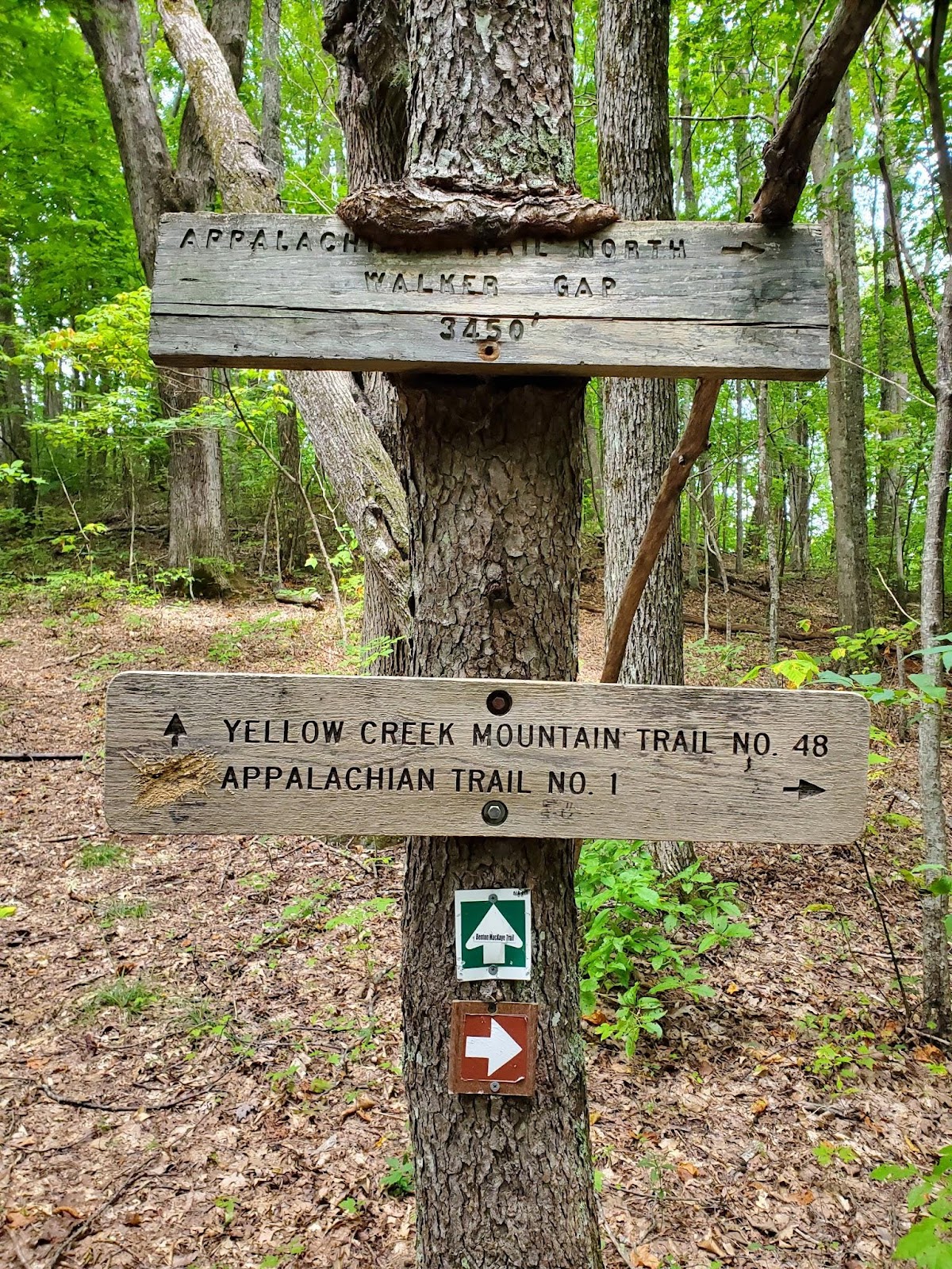
I made it to Walker Gap. The climbing was getting harder.
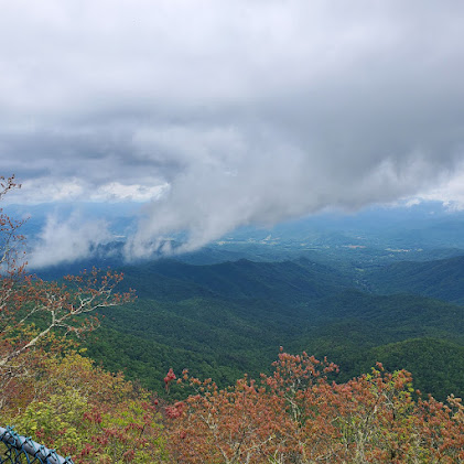
The last two miles as I descended into the Dam were easy, but my back and shoulders were starting to hurt. The view of the dam was nice, though.
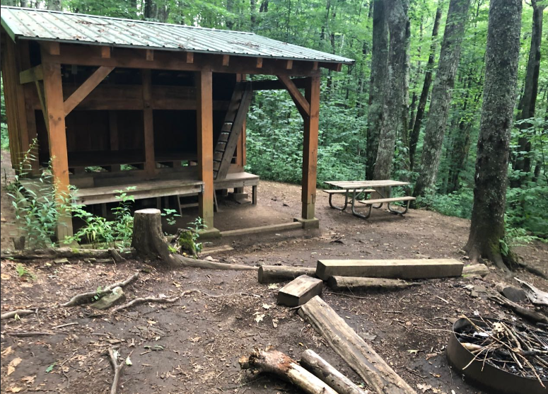
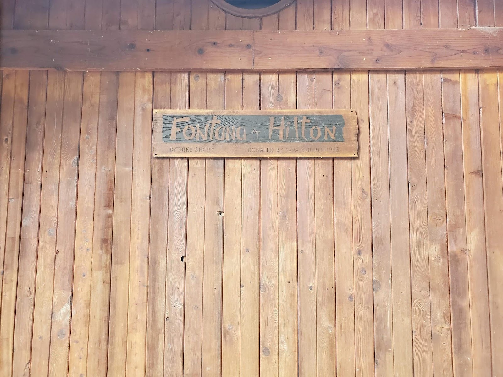
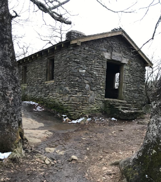
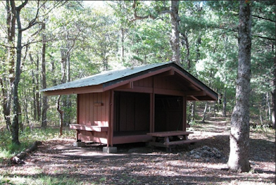
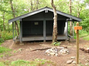
At around 3 PM, I reached the shelter known as the Fontana Hilton. It was built by and is maintained by the Tennessee Valley Authority (TVA). They run the dam and several other power-generating facilities. It’s the best shelter on the entire AT. Well, that’s what I’ve been told anyway.
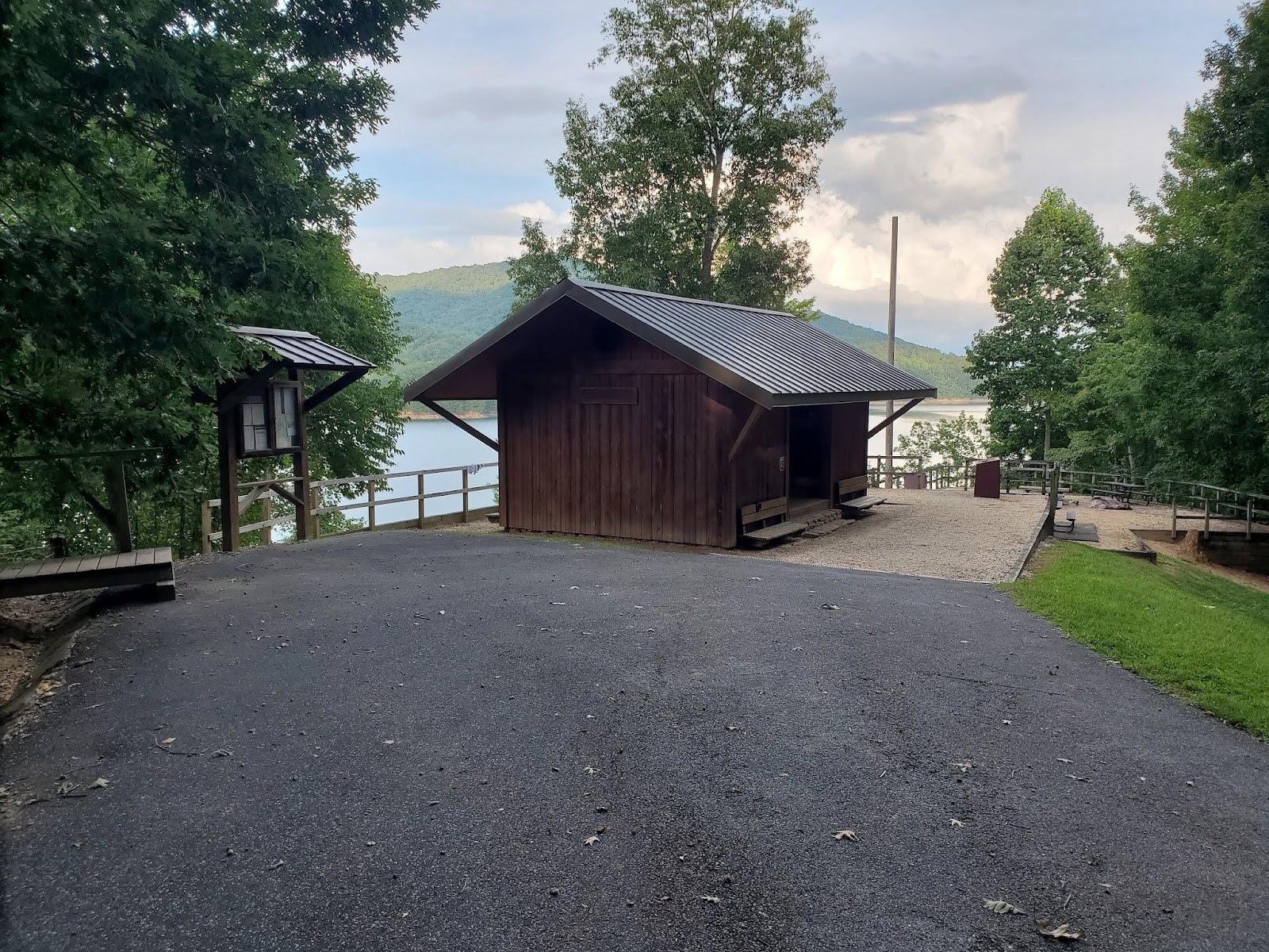
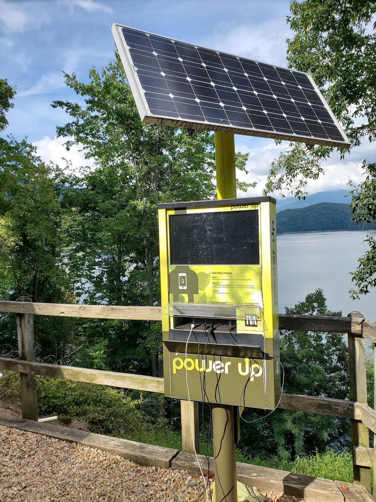
The Hilton has a number of features not found in any other shelter, such as a solar-powered phone charger and shower facilities.

There were two other hikers at the shelter. I think they’d been there a couple days. They introduced themselves by their trail names - Carpenter and Shroom. I asked them how they got their names.
Carpenter was a young man in his mid-20s. He said he was just wandering up the trail with no specific goal. He got his name at a hostel where he was repairing his boots and talking about Jesus.
Now, Shroom’s story was far more interesting. Shroom was in his early 30s. The week before, Shroom was hiking with a big dude who was interested in MMA fighting. Shroom, - it turns out - likes to gobble up mushrooms. Yeah, that kind. That night, they stayed at the Derrick Knob Shelter. It seems that his hiking buddy had never tried them and asked for one. Being the kind soul that he is, Shroom gave him a mushroom.
Madness ensued as this dude cracked. He went on a journey and wouldn’t snap out of it. There were a couple women at the shelter. This muscled guy was trying to sleep with them and smacked one of them on the butt. Shroom felt responsible and tried everything to get him back to planet earth but nothing worked. Eventually, the trail crew had to come up to investigate. Then they called the rangers. They had to take the guy to jail!
So that story was interesting. I ate some food and got settled. Two women showed up at the shelter. They were both very experienced hikers and loved to tell you where they’d been and offered advice.
The Fontana Hilton was awesome.


 We got a ride to the hostel and called it a hike. We ate dinner at the Hiwassee brewery where we played music trivia bingo. My wife picked us up the next morning. On our way out, Larry showed up.